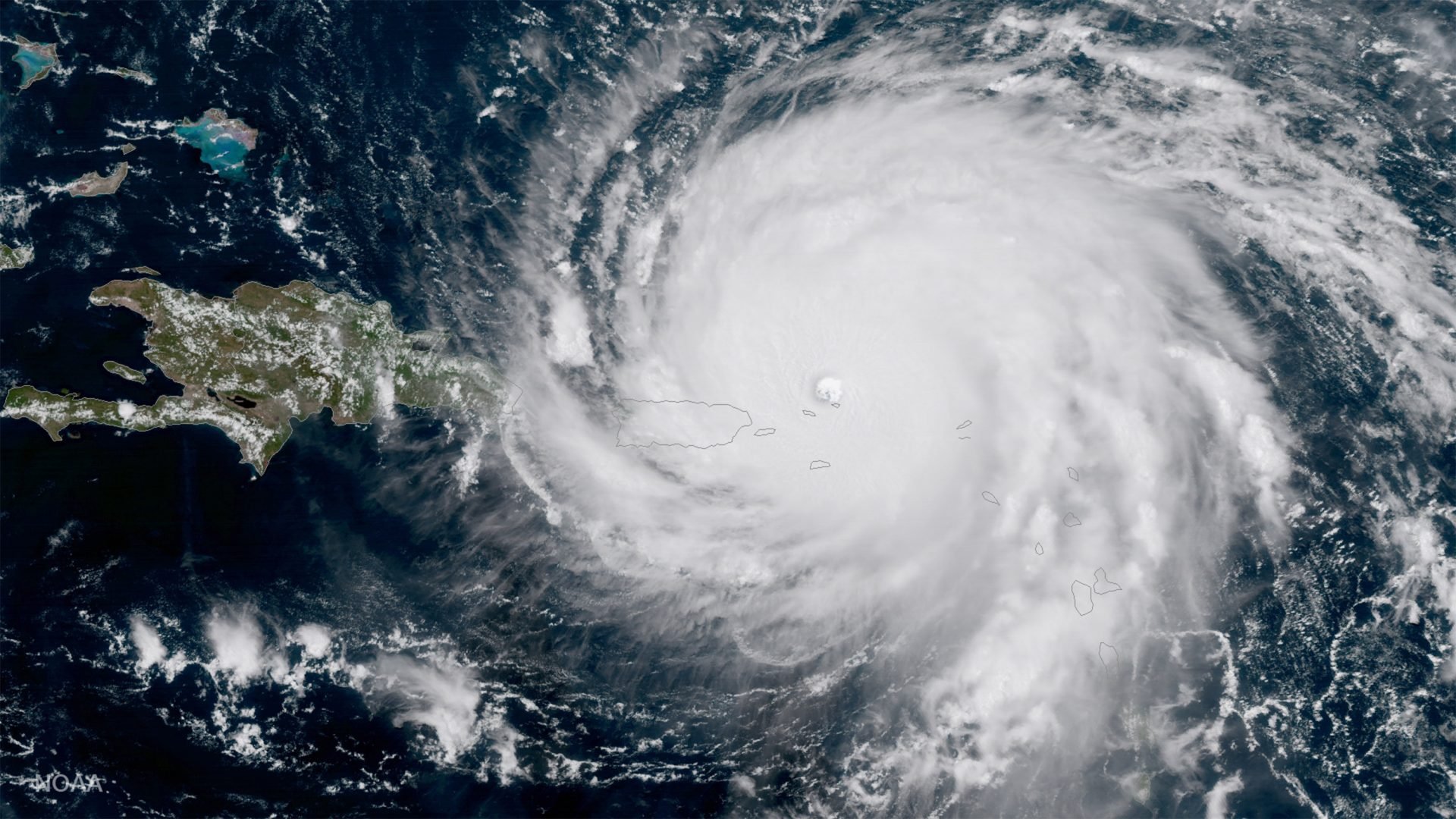
Hurricane Irma seen from a satellite in space
Snapped
7th September 2017
6 SEPTEMBER: CARIBBEAN – In this handout image, NOAA’s GOES satellite shows Hurricane Irma as it makes its way across the Atlantic Ocean in to the Caribbean – A category 5 storm with winds as high as 185 miles per hour.
(Photo credit: NASA/NOAA GOES Project via Getty Images)
0 Comments